|
(Click on each picture to see a larger version.) |
||
 |
 |
|
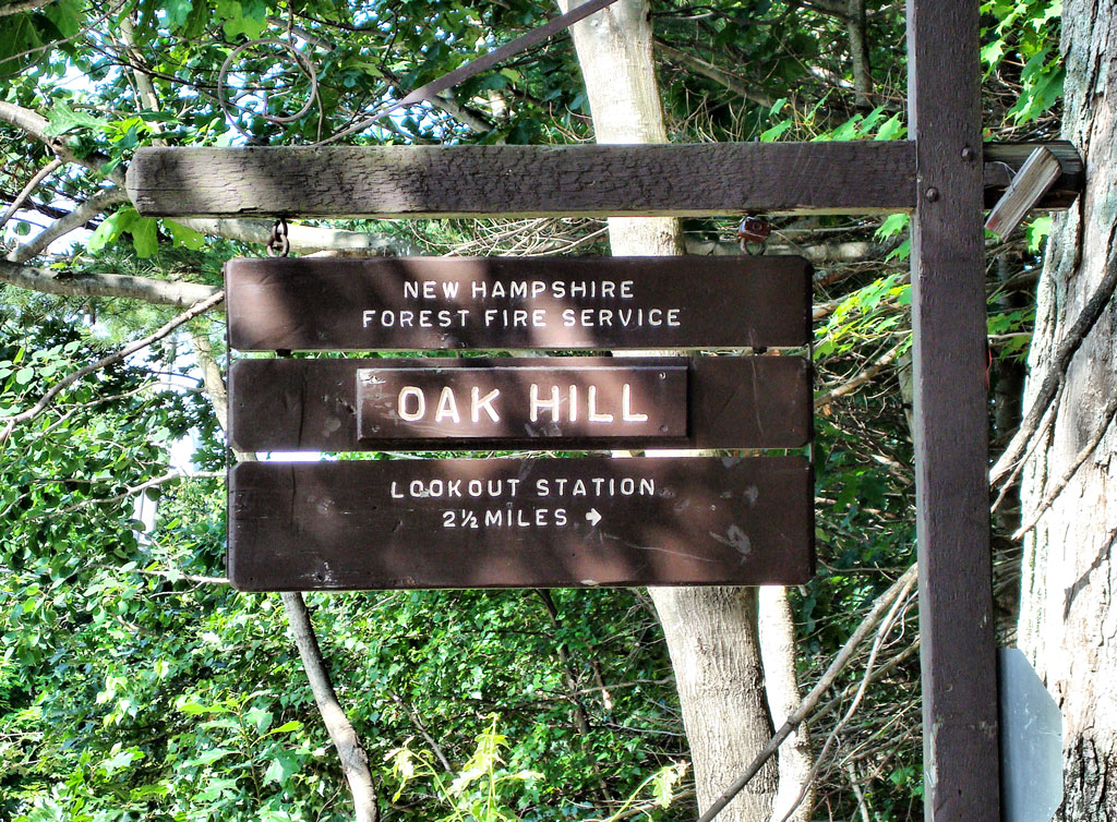
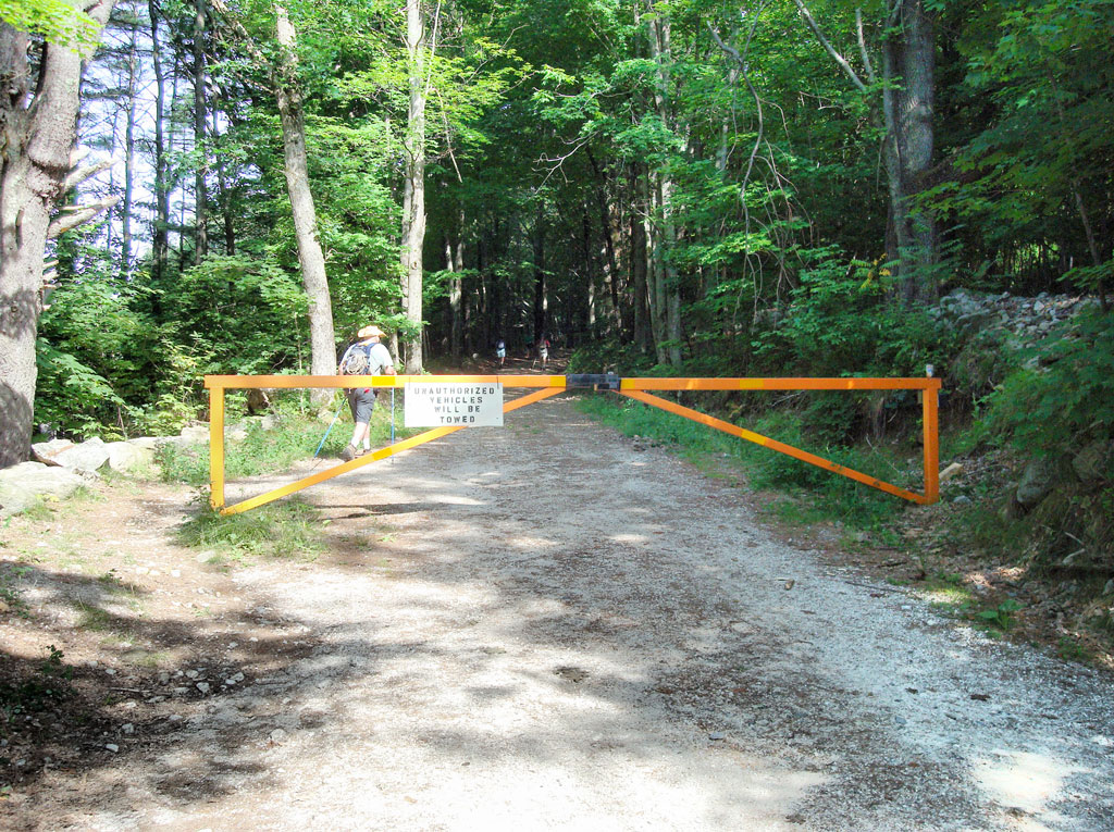
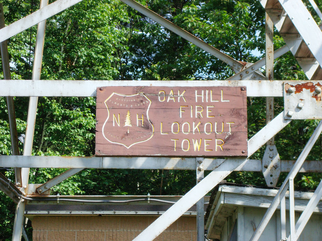
| Sign for Oak Hill Fire Tower on Oak Hill Rd., Loudon | Gate on the gravel road leading to the tower | |
 |
 |
|
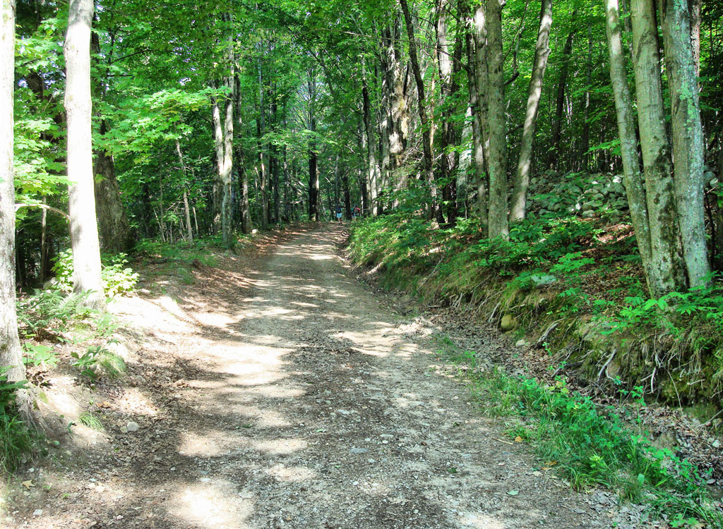
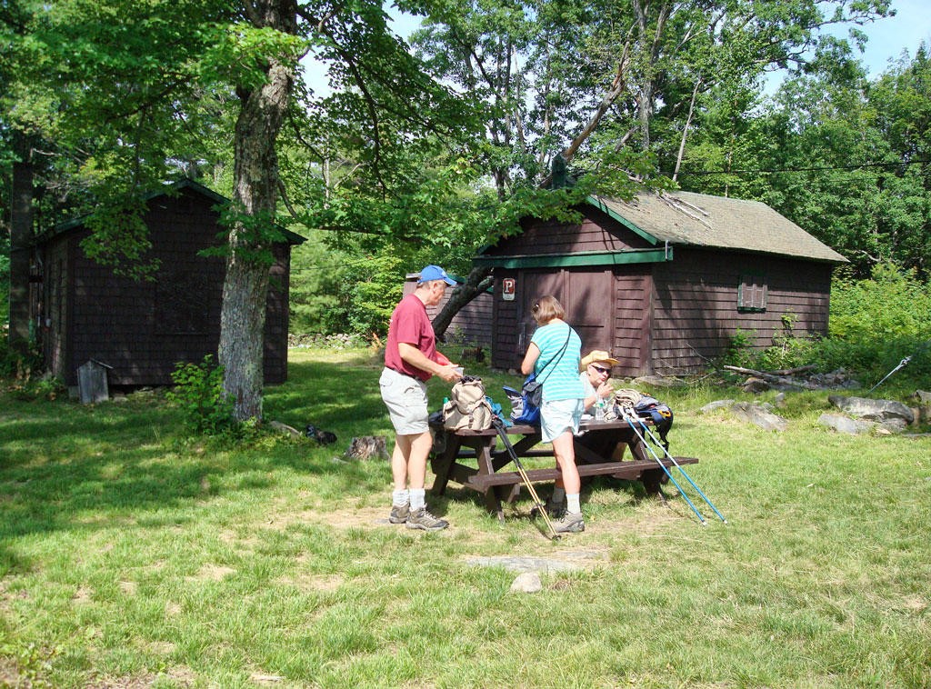
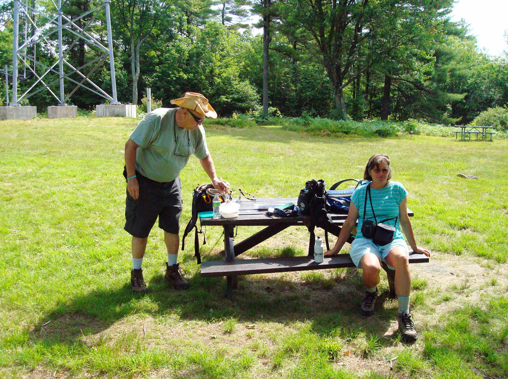
| The gravel road made this an easy hike | Time for a snack at the top of the hill next to the tower | |
 |
 |
|
| The grounds are very well maintained | Sign near the base of the fire tower | |
 |
 |
|
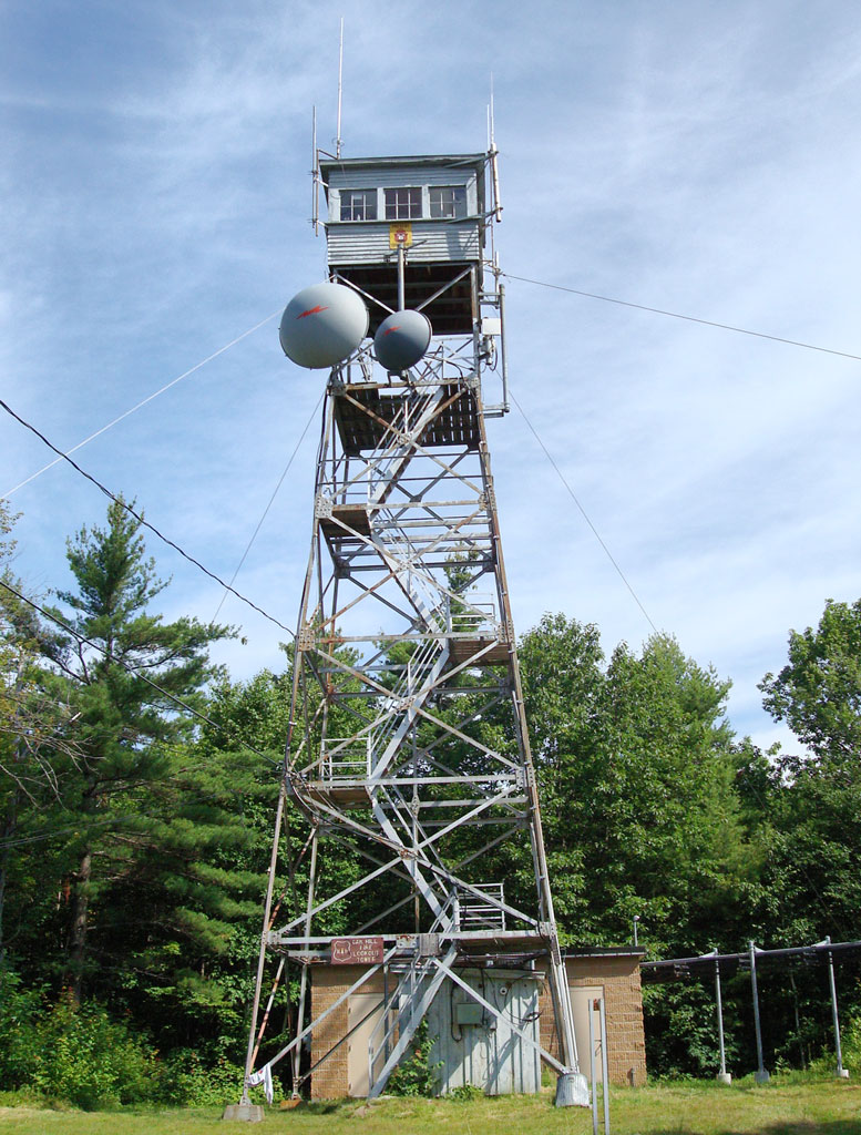
| Oak Hill Fire Tower | This was as high as we could go | |
 |
 |
|
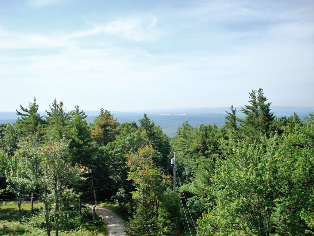
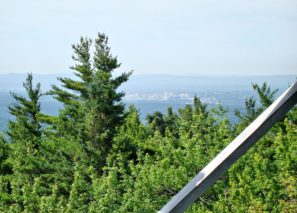
| View south | View southwest toward Concord | |
 |
 |
|
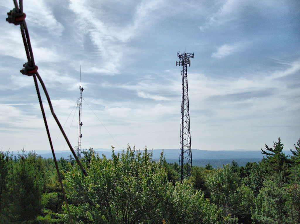
| We believe this view shows the Concord airport | Two communication towers near the fire tower | |
 |
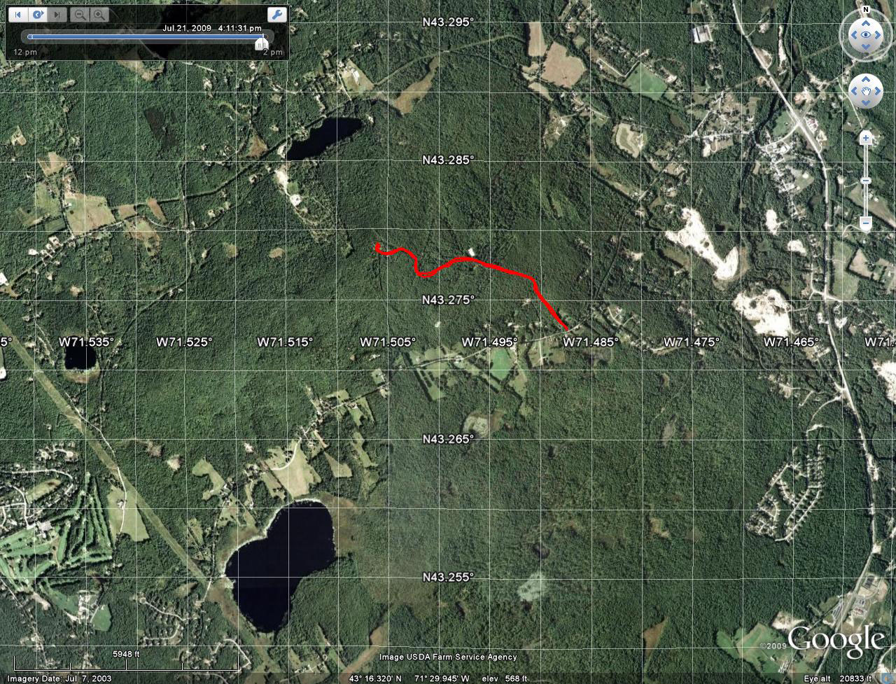 Our hiking track on a Google Earth photo |
|
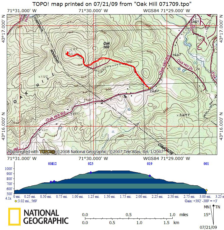
| Our hiking track on topographical map with elevation profile | ||
|
|
|
Click here to return to Beverly's Journal. |